Auckland Council’s mapping and property information service – GeoMaps – has had a facelift. From today, GeoMaps offers a vastly improved service offering a range of valuable tools to Aucklanders.
What is GeoMaps?
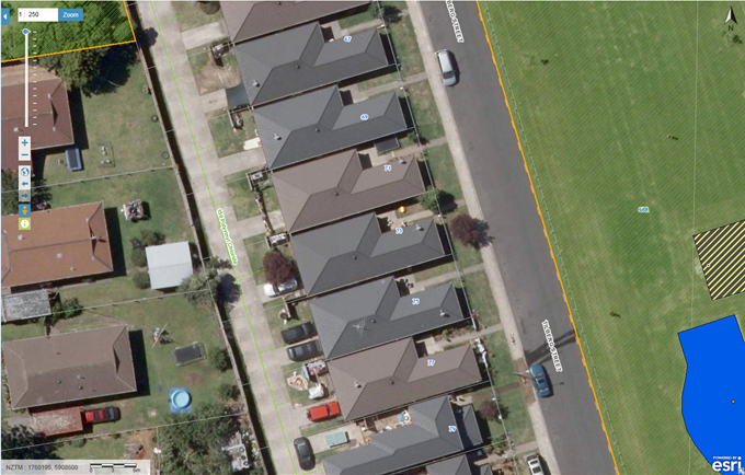
GeoMaps is a digital mapping service that offers a range of key information to customers around property information and much more.
The interactive web application allows people to run detailed searches on key information like rates, valuations, to access the official district plan maps and print maps with underground services, contours and other data accessible in the viewer. You can even check the traffic cameras before you commute so you don’t get caught get in traffic.
What can I do on the new updated GeoMaps service?
The overall functionality will remain the same as the previous version, however, some of the key new features include:
• Improved and streamlined technology as well as new look and user-friendly options.
• More advanced search and query capability.
• Ability to access GeoMaps on tablets in addition to desktops. At this stage, mobiles are not supported but you may find that GeoMaps still works.
The best way to understand GeoMaps is by experiencing it. An easy way to get a feel for the service is by having a go yourself with the service and by running a simple search on your property or rental to understand it.
How do I access GeoMaps?
Try Geomaps for yourself or search for property services on the Auckland Council website.
Remember to update your existing bookmarks with this new link.
