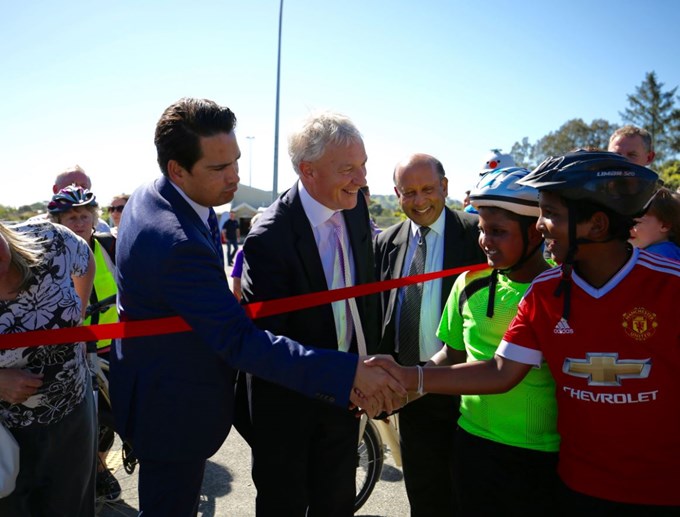
A cycling and walking route opened on November 23 will connect Mt Roskill with the Manukau Harbour, providing new travel options for locals.
The Mt Roskill Safe Route, opened by Transport Minister Simon Bridges and Mayor Phil Goff, is part of a route that will ultimately connect Auckland's two harbours.
The new route, which has shared paths for walking and cycling, runs from War Memorial Park, through Keith Hay Park, to Waikōwhai Park on the Manukau Harbour. It connects with the shared path that runs along State Highway 20 to key employment areas in Onehunga and the airport.
Part of a bigger network
People will ultimately be able to walk or cycle through to Hendon Park, Alan Wood Reserve, and on to the Waterview Shared Path as well as the Northwestern Cycleway, which connects with the city centre via the pink Lightpath. This route will be complete by the middle of next year when the Waterview Shared path will open.
Mayor Phil Goff says that the growing cycle network is a key component to improving Auckland's transport network and allowing students to cycle safely to school.
"Providing safe walking and cycling paths like this provides people of all ages with greater travel options to get to schools, shops, parks or for recreation. This project will be transformative for the Mt Roskill community by improving access to the harbour and opening up some stunning greenways in Auckland's isthmus," he says.
Creating better cycling options
The $4.9 million project has local funding as well as funding from the government through NZ Transport Agency and Puketāpapa Local Board.
Auckland Transport is working with project partners Auckland Council and the government through the NZ Transport Agency on a $200 million programme of cycle improvements in Auckland from 2015 to 2018.


