Did you know there are more than 60 public access routes through private buildings in central Auckland?
The routes exist to allow for private development in areas where public access may otherwise be restricted. They are known as ‘through links’, and they include public viewing decks, plazas and access to privately owned artworks.
View an interactive map of through links here
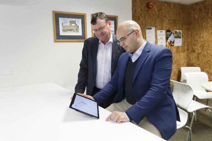
In 2010, Shale Chambers, then chair of Waitematā Local Board, started collecting information about the through links in central Auckland. Over the past five years, local board staff have gathered information on all the links and have created a complete list.
Interactive map
Local board member Vernon Tava has since created an interactive online map that shows the location of every through link in the central city.
The map also shows public toilets and drinking fountains, and is perfect for anyone exploring the inner city and its spaces.
Vernon Tava says he’s pleased to share this information with Aucklanders and visitors to the city.
“Anyone with a smartphone or online device can find out instantly what is near them or plan their own walking tour," he says.