Auckland Council has launched a two-minute video explaining why Tāmaki Makaurau floods.
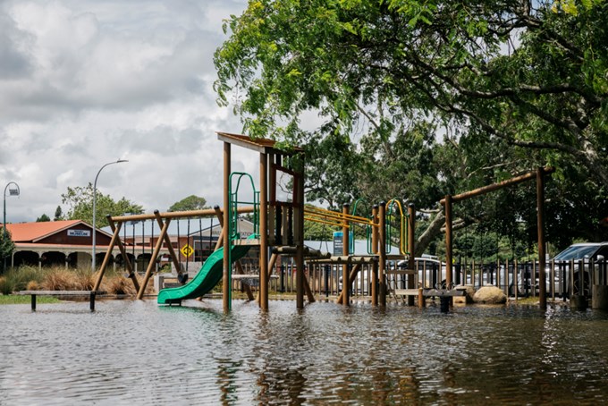
Find out why overland flow paths, flood plains and flood-prone areas are significant, why they will be activated more frequently in the coming years, and what motivates Auckland Council to intentionally flood its parks and reserves. This video, Why does Auckland flood?, is part of a flooding series from the council’s Healthy Waters team, designed to educate residents on flooding, flood safety and flood resilience.
Other videos in the series can be found on Flood Viewer in the Get Prepared section, including:
-
How to prepare your home for flooding
-
Dos and don’ts of flooding
-
How to stay safe during a flood
Nick Vigar, Healthy Waters Head of Planning at Auckland Council, reinforces the importance of understanding ‘overland flow paths’ ‘flood plains’ and ‘flood-prone areas’ described in the new video and the Flood Viewer tool.
“I recommend residents become familiar with these terms to understand more about their own flood risk. Our free online Flood Viewer tool contains specific locations of overland flood paths, flood plains and much more. This information is powerful and enables you to analyse flood threats where you live now or when searching for a new property to buy or rent,” says Mr Vigar.
Overland flow paths are activated when water moves quickly over land, creating temporary fast-flowing streams as it travels downhill. If there is no piped network, or the capacity of the stormwater network is exceeded, overland flow paths will activate as part of our secondary stormwater network. Items like rubbish, fences and buildings can be swept away by overland flow paths or create blockages that can cause flooding. |
Flood plains appear in low-lying areas and next to streams and rivers. As many historical streams have been piped, flood plains may appear in areas where you have not seen water before. |
