The Parliamentary Commissioner for the Environment (PCE) released their second report on sea-level rise on Thursday 19 November 2015, with recommendations for an overhaul of the way New Zealand is preparing for the impacts of climate change.
The commissioner, Dr Jan Wright, says: “Homes, businesses and infrastructure worth billions of dollars have been built on low-lying land close to the coast. Rising sea levels will have major impacts in many places. In time, some coastal land will become uninhabitable.”
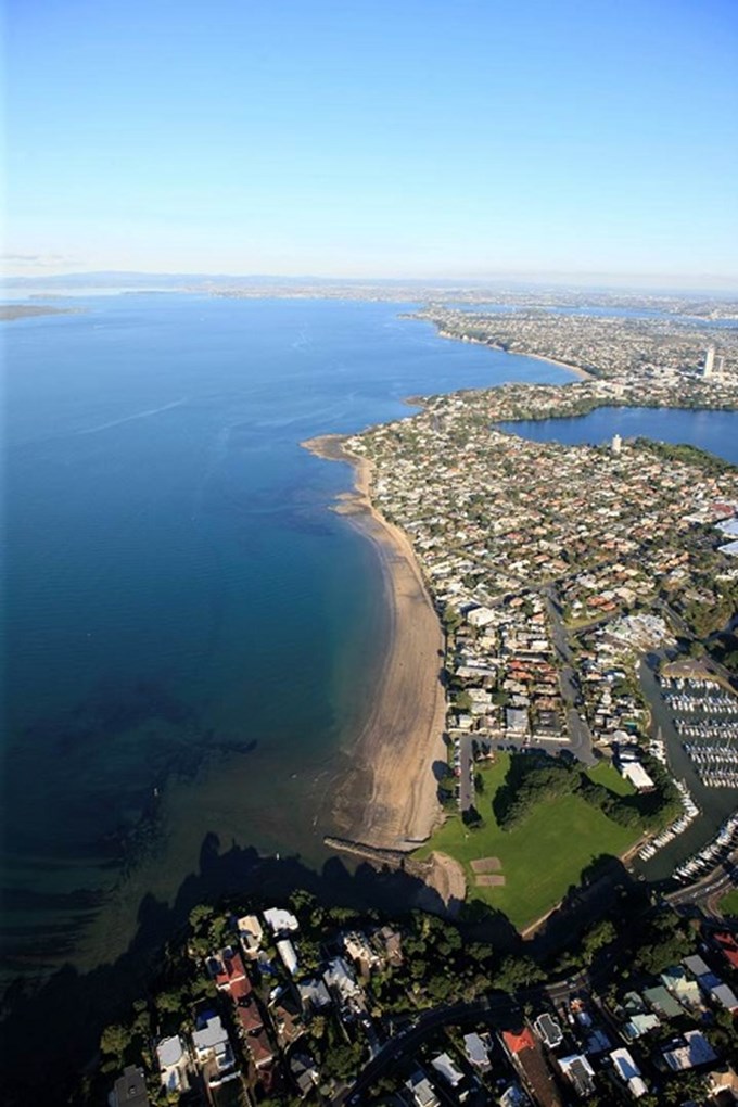
The report, Preparing New Zealand for Rising Seas: Certainty and Uncertainty, contains maps of Auckland and other main centres showing the elevation of low-lying coastal land above the spring high-tide mark.
In response to the report, Auckland Council’s Chief Engineer, Sarah Sinclair, says: “Auckland Council has been preparing for the effects of rising seas, and we support the recommendations proposed. We have provided data to the PCE, and details of the work we are doing to manage the risks of natural hazards.
“We have done some more detailed investigation and numerical modelling of coastal hazards and sea-level rise, to make sure we understand the issues, and how they will affect Auckland. These are more detailed than the national-scale models, and we agree with the commissioner that detailed local studies are needed as well as the national study.”
The proposed Auckland Unitary Plan identifies areas throughout the region that are potentially subject to coastal hazards, where the council has identified the need to gain a greater understanding of the risks and issues present. This aligns with the commissioner’s recommendations.
The commissioner also supports Auckland Council’s view that a longer time horizon should be considered with respect to sea-level rise and coastal hazards when planning for greenfield areas.
A strategic approach is being developed for the Auckland coastline across Auckland Council, Auckland Transport and Panuku Development Auckland, using coastal plan development to make sure communities are engaged with decision-making. Sarah Sinclair says she is pleased to see this approach is recommended in the report.
The commissioner is recommending Auckland’s approaches to other councils, saying: “The decision to allow part of the shore at Muriwai to retreat and the mixed approach being taken at Orewa are examples of strategic thinking at a beach level.”
The report’s conclusion notes: “It is encouraging to see strategic thinking for Auckland beaches like Orewa and Muriwai and the intention to extend such thinking to whole coastlines.”
The full PCE report and maps are available here.
The following technical information is also available from Auckland Council:
- Maps representing coastal storm inundation with a 1m and 2m sea-level rise value included can be viewed in the proposed Auckland Unitary Plan viewer as notified (select: Layers/overlays/natural resource/natural hazards-coastal inundation).
- Maps representing coastal storm inundation as it was modelled for the region in 2013 both with and without a sea-level rise component can be located in the Auckland Council GIS viewer (select: Map content/more data/live maps/emergency management).
- Information regarding the council's current position on the Planning provisions which relate to coastal storm inundation and sea-level rise can be found on the AUPIHP website under topic 022 natural hazards.
