Aerial photography of forested areas will be occurring over parts of Auckland and the Hauraki Gulf during March and April, to build a better picture of our native forest and where healthy and diseased kauri stands are.
The photography will take place over parts of the North Shore, Waitākere Ranges, Manukau Lowlands, Waiheke, Hunua Lowlands, Great Barrier and Little Barrier Islands, until 30 April.
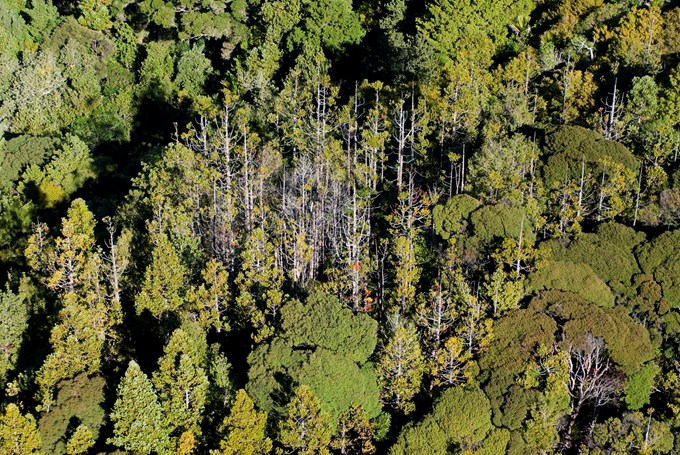
The aim is to identify dead or dying kauri trees in order to manage kauri dieback and obtain imagery for ecosystem management purposes.
“This work will complement and inform our 5-yearly kauri health surveys but not replace them,” says Lisa Tolich, kauri dieback team manager at Auckland Council.
“It will photograph areas of healthy and sick kauri, with further investigation to occur on the ground. It will also take in non-kauri forest, to enhance our understanding of what’s happening in the forests across our region.
"Thanks to the Natural Environment Targeted Rate, we are now better able to monitor our environment and detect change.”
The plane will fly in a linear fashion, in north-south transects, taking photos from set points, at a precise height. The line will be broken if areas of interest are seen, and the photographer will take images from a separate camera before restarting the transects.
