Volunteers have cleared an overgrown track that links the summit of Pukekohe Hill to Bayly Road.
The entrance to the track, which provides a bush walk and views over the Waikato River, is near the pines on the southwest edge.
Pukekohe Tramping Club members want the trail to be the first step in a plan to connect the area’s five volcanic cones - Pukekohe, Puni, Capehill, Glenns Hill and Rooseville Park - using existing roads, footpaths and trails.
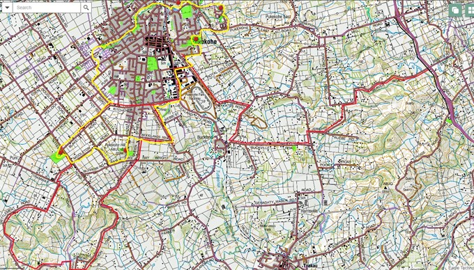
Where the trail meets Bayly Rd is narrow and just over the brow of the hill, so caution is urged, and it is recommended users stay on the verge and head west to turn right for Hilltop Rd, which offers good views and has less traffic.
Club members hope to engage with the community, Franklin Local Board, iwi and Auckland Transport to look at other options for the area.
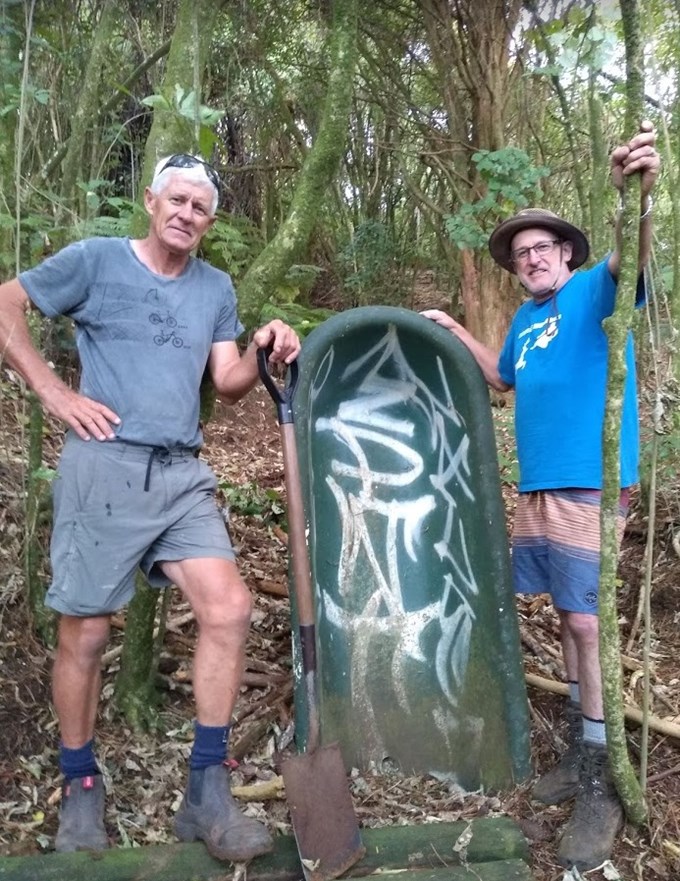
In the top photo, volunteers Peter Kraakman (left) and Cris Reid stand either side of a bath buried on its end on the trail. No one is quite sure why the bath is there.
If you know the answer, email franklinlocalboard@aucklandcouncil.govt.nz
