Planning for local paths in Rodney West took another step forward last week as Rodney Local Board adopted the Rodney West Local Paths (Greenways) Plan.
The last piece of Rodney’s greenways puzzle and its fourth plan, it covers Coatesville, Dairy Flat, Helensville, Kaukapakapa, Muriwai, Taupaki and Wainui.
Parks and Recreation Committee Chair Brent Bailey says the local board and community have worked hard to identify a future greenways network that includes 10 priority routes.
“Feedback from the community has helped us come up with the network and priority routes which will serve as a blueprint for implementing future walkway and cycleway projects in these areas.
“Priority routes also consider areas like Dairy Flat/Wainui which are zoned for urban growth and where physical work or planning is underway.
“Before any of the priority routes can progress; funding needs to be identified and further scoping of each route undertaken to determine its feasibility. This could lead to finding alternative routes in some instances.”
The plan was created after community engagement and public consultation with stakeholder groups, community groups and school children.
Six priority routes, in no particular order, are:
- Parakai to Helensville links: connects Parakai Domain through Helensville to Helensville A&P Showgrounds. The route follows the riverbank, and includes the Kaipara Missing Link which is part of Nga Haerenga, a national cycle route.
- Helensville loop route: a circular fitness route for walking, running, mountain biking. Starts at Kaipara College heading in a clockwise direction, along Rautawhiri Road, Inland Road, Wishart Road, Garfield Road returning to the college.
- Kaukapakapa local paths: various off-road routes that connect Kaukapakapa’s northern and southern precincts that are separated by SH16.
- Waitoki to Milldale via Wainui: connects the villages of Waitoki and Wainui to a new local centre planned for Milldale and the proposed park and ride facilities planned close to Dairy Flat Highway motorway interchange.
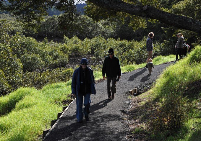
- Coatesville Scenic Reserve trail: links through established native forest between Green Road Reserve and Coatesville.
- Coatesville loop route: popular exercise loop that begins and ends at Coatesville Recreation Reserve. Follows road verge and paper roads avoiding the intersection of Mahoenui and Ridge roads.
People can view these plans - Kumeu, Huapai, Waimauku and Riverhead Greenways – Local Paths Plan, Puhoi to Pakiri Greenways - Local Paths Plan and the Wellsford Greenways Plan on the council website.
