During the Second World War, Piha was the site of a radar station critical to New Zealand’s defence.
The New Zealand Defence Force chose Hikurangi Hill south of Piha for the radar station because of its views over the Tasman Sea. The station was part of a network installed in response to the threat of a Japanese attack.
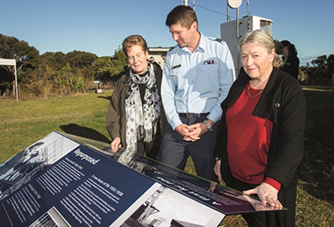
Interpretive signs, which include audio and video, have been unveiled at the site to acknowledge this history. “I encourage you to stop by and have a look around to learn about the history of the area,” says Waitākere Ranges Local Board Chair Sandra Coney.
There is also an interpretive sign on the cookhouse in Piha Domain, which was the station radio house. To find the site, which is in the Waitākere Ranges Regional Park, go to the end of Te Ahu Ahu Road at the top of Piha Hill, then turn right into Log Race Road and go to the end of the gravel road.


