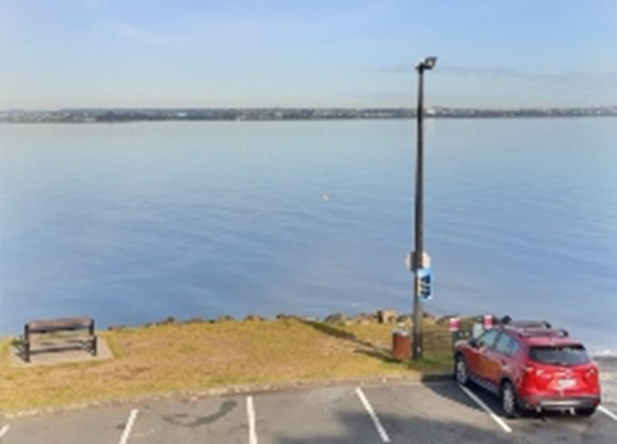
The Auckland King Tides Initiative with support from Albert-Eden Local Board will help measure rising sea levels, an important indicator of climate change, at the local Raymond Reserve in Point Chevalier.
A tide gauge is a simple tool. It measures water level of individual tides against tides marked on the gauge; including historic high tides, current-day mean high tides and projected high tides.
The water level measurements will allow people to look at the impacts of an extreme weather event and to consider the variation in water level that caused it.
“In this community-led approach, people can see sea level rise and find out more about the causes and impacts of sea level rise on our coastline,” says Ben Sheeran, Auckland King Tides Initiative.
The data from the gauge will be provided to the Auckland King Tides Initiative.

Albert-Eden Local Board is committed to climate action leadership at the local level and to support initiatives like King Tides.
“There is plenty of research that tells us climate change exists and the impact it will have on our natural environment going forward,” says Albert-Eden Local Board Chair Margi Watson.
“Science also tells us that we can take action to make a positive difference and helping the community understand the effects through the gauge is educational and we hope spurs everyone to think about the changes they can make,” says Chair Watson.
Earlier this year, Auckland Council adopted its Te Tāruke-ā-Tāwhiri: Auckland’s Climate Plan.
Auckland Council collects water level data via radar-based tide gauges in order to allow the validation of extreme sea level estimates that are based on modelled data, in order to gain an appreciation of coastal inundation risk across the region under a range of sea level rise scenarios.


