Work to develop Shoreline Adaptation Plans for the Pahurehure Inlet, Manukau North and Manukau East areas is about to begin.
Plans have recently been put in place for large coastal areas within Franklin and Auckland Council staff have been visiting local boards to familiarise members with the projects and what they are trying to achieve.
The plans are strategic documents that support the sustainable management of Council-owned coastal land and assets over the next 100 years - including reserves, coastal defence structures and facilities such as playgrounds.
They consider erosion, inundation, flooding, climate-change and sea level rises, and seek to provide a planning approach focused on the needs of iwi and communities, and to promote the preservation, enhancement, and ecological restoration of coastal environments.
Once completed, the shoreline plans provide site-specific strategies that outline the preferred management response for each area over the next 100 years.
Together the plans help inform the sustainable management of coastal assets to ensure cost-effective management of new and existing structures.
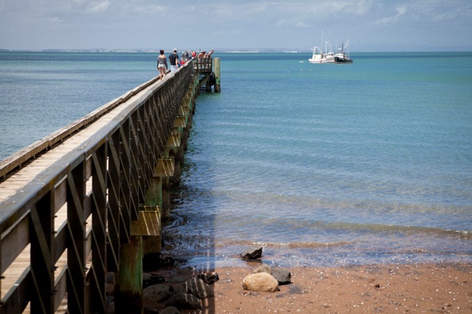
Council’s Resilient Land and Coasts general manager Paul Klinac says Auckland has more than 3,200km of diverse coastline that is much-loved by residents and visitors alike.
“But the coast also presents a range of issues and hazards that we need to better understand and plan for. We want to discuss the issues further with mana whenua and our coastal communities.”
Anyone interested can attend a session at the Māngere Boating Club in Kiwi Esplanade, from 2.30pm - 4.30pm on Thursday, 29 June, featuring interactive information stations, ask an expert, and a short presentation on shoreline plans.
Consultation is open until 7 August. More at https://tinyurl.com/y8xvcwmh.
